Project Description


PROJECT DESCRIPTION
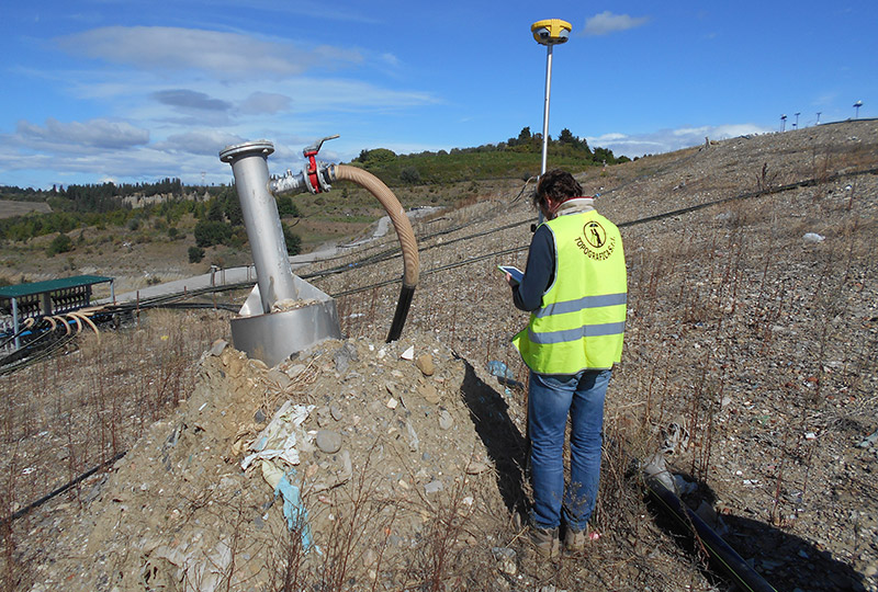
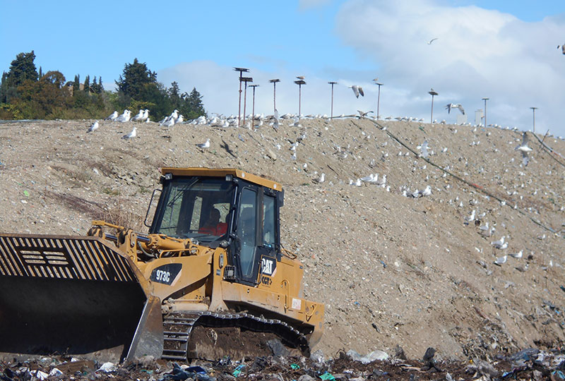
The assignment carried out for Publiambiente SpA had a two-year duration with the aim to check the movement but more specifically the lowering of coverage quotas regarding post-cultivation landfills and those still active also. The verification was carried out by a network of georeferenced topographical points locally on cornerstones outside the landfill. The topographic monitoring activity is part of the operational management plan to identify the places where waste is deposited, in order to comply with the topographical profile of the project, considering both the monitoring and control plan of the plant in post-cultivation, to check every six months or every year, the status of the landfill’s evolution, and landfill settling process.
Services provided: Topographical relief
Client: Publiambiente SpA
Year: 2015 – 2016
Works amount: € 20.000,00
Località: Florence, Prato, Pistoia – Italy