TOPOGRAPHY
The topographic team of Hyper STP offers several types of services such as: Topographical surveys for on-site assistance, Sewarage survey and water supply networks, Topographic surveys with APR system (drone), Watercourses surveys for geomorphological analysis, Architectural surveys of historical buildings with topographical instrumentation.
-
Topographical surveys for on-site assistance:
Site assistance to companies operating in the construction, infrastructure and creation of sub-services networks, through the positioning of new buildings, the staking of new roads, tracking and levelling of pipes.
-
Sewarage survey and water supply networks:
Topographic surveys and cartographic elaborations related to infrastructures and networks, including: – field surveys with TPS – GPS instrumentation, vectorial cartographic data input on GIS software (Geographical Information System) – raster data modification with Sun Raster software – creation of export tools in various formats – geographic data base processing and administration – sewerage functional schemes processing on ARCHMAP software and AutoCAD software – Web GIS software administration development.
-
Topographic surveys with APR system (drone):
The application of photogrammetry performed with the APR system in the topographic survey, allows to monitor the territory from above and transform the data acquired into maps, representations in 3D and orthophotos, with a centimetric precision. The APRs allow to perform surveys in inaccessible areas and significantly reduce the performance time. There are many fields of application: monitoring of the territory, surveys of rocky ridges, landslides and quarries; diagnosis in agriculture; safety and emergency management, etc.
-
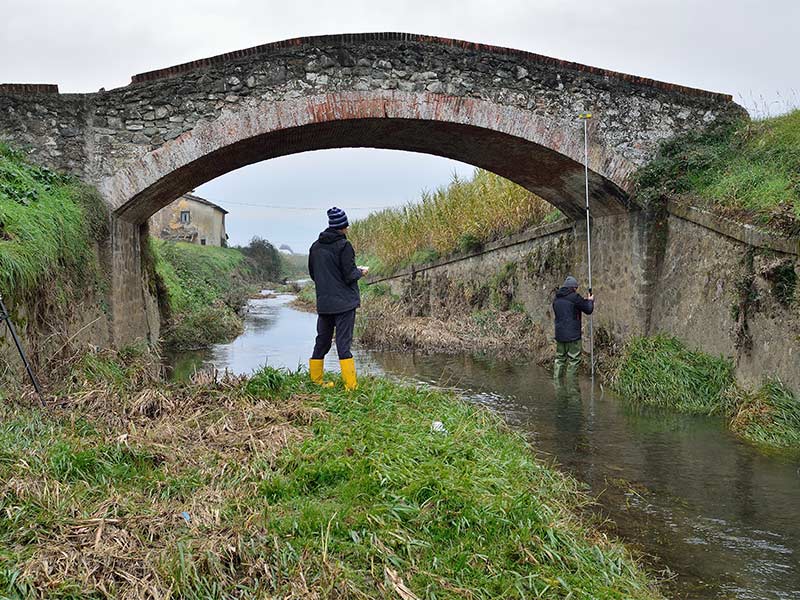
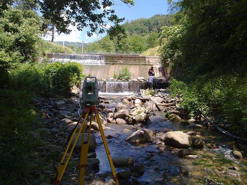
Watercourses surveys for geomorphological analysis:
Topographical surveys and cartographic elaborations of watercourses, in order to determine morphology, sediments, vegetation and processes of consistency changes of levee. The survey is carried out with GPS, TPS and APR instrumentation, according to the requirements of the client. Cross-sections of the riverbed, longitudinal profiles of both the flow and the levee height are returned. Monographs of the artefacts and drains present in the stream.
-
Architectural surveys of historical buildings with topographical instrumentation:
Perform architectural surveys and returns of detailed 3D models, prospect, sections, as well as frames referenced on previously fixed points aimed at generating orthophotos of facades for limited distances.